Share the post "The history and importance of nautical charts in sailing"

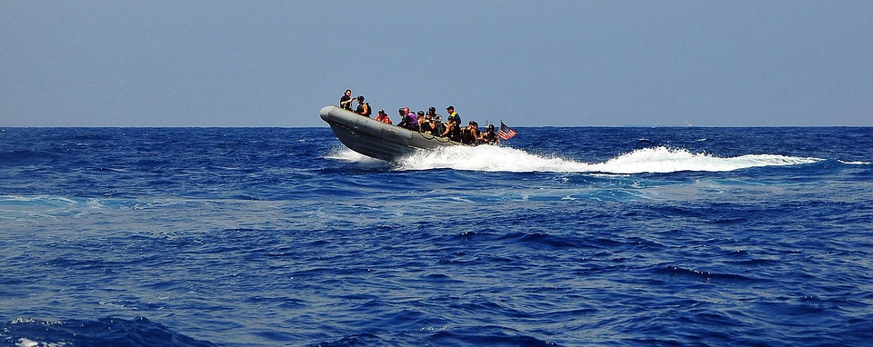
Reading nautical charts can seem like a daunting task, but with the base knowledge and an attentive eye, professional navigators and sailors are able to better understand the bodies of water they are navigating and fully enjoy their boat rental.
From sailing off the coast of La Paz in a catamaran rental to adventuring off the shoreline of Greece in a sailboat, learning how to read and understand nautical charts can greatly impact your knowledge of all things nautical.
The origin of nautical charts
Historically, these were originally created with what became known as nautical chart symbols as a large number of sailors were not able to read and write well. Dating back to the mid-13th century, nautical charts contained no latitude or longitude. They did contain the major ports located in the area, with a compass rose indicating direction.
The compass rose has changed over time but has maintained the same purpose throughout the years. Every nautical chart should contain one compass rose, but most have three or four. Printed in magenta, the compass rose contains two rings. One ring shows the true direction and the other shows the magnetic direction.
Learn more on nautical charts
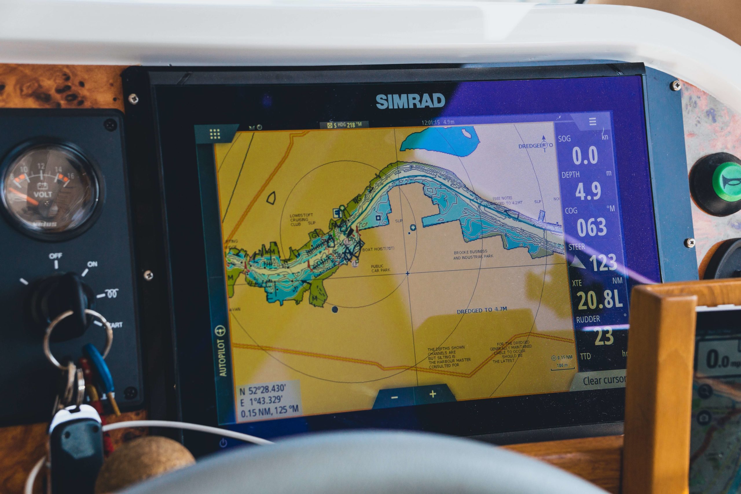
While almost all boats today have multi-function GPS displays for electronic charting, learning how to read paper charts is easy, intuitive, and always a good skill to have
Nautical charts contain details for the sailor that are needed to navigate the water safely. Unlike land maps, these charts have information on the depth of water, nearby bridges, harbors, and any dangers that might be located in the area or on the route.
When learning how to read a nautical chart, the sailor must remember that any distance marked is shown in either statute miles or nautical miles. For example, when looking at a knot which is a unit of measurement that depicts distance over time, a sailor would travel 10 nautical miles per hour for 10 knots.
Sailing with charts
Something to keep in mind is that nautical charts were created to capture that moment in time. It is important as a responsible sailor to always keep your eyes open. Be aware of anything that could have shifted location over time during your boat rental.
A few beginner tips to keep in mind when reading a nautical chart:
- Charts will always have latitude and longitude marked on the edges. With both of these numbers, the sailor can determine where they are located on the chart.
- Charts will usually show dry land in a tan color and water will consist of shades of blue or white, with white being very deep water and light blue being very shallow waters.
- Hazardous materials or obstructions have a variety of abbreviations and symbols. The key to these symbols will be printed on the chart for the sailor to refer back to during sailing. A complete booklet of information for US charts can be downloaded from the National Oceanic and Atmospheric Association, known as NOAA.
With Click&Boat you have the opportunity to rent with or without a captain for your next boat rental needs. Discover the world from a new perspective today!